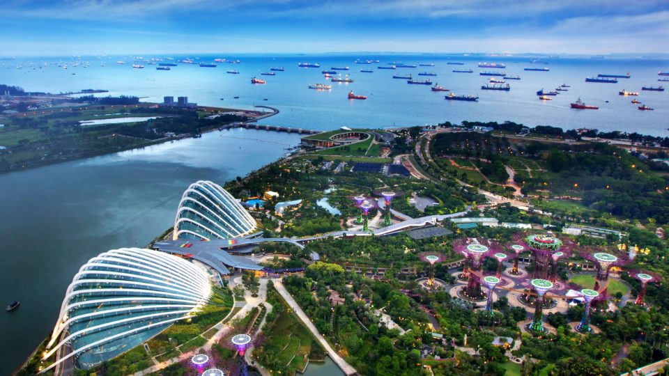
The southern part of Singapore saw abundant waterfront promenades, a good number of historical elements, beautiful beaches as well as a couple of peaks where runners can enjoy scenic bird eye’s views of Singapore.
Here are the 5 best Singapore’s running routes in the south that you should not miss if you love scenic waterfront views and elevated walkways above lush greeneries.
1. The Southern Ridges
The Southern Ridge is a 7.5km trail that offers runners a bird’s eye view of Singapore’s Southern islands, an elevated walkway at Forest Walk over the lush secondary forest canopy, the iconic Henderson Waves that has won architecture awards and themed gardens in in HortPark.
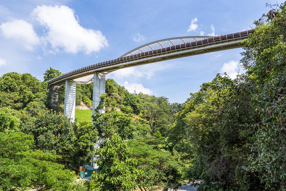
Start point: Harbourfront MRT
Finish point: Kent Ridge MRT
Distance: 7.5km
Running Route: Harbourfront MRT Exit D -> Marang Trail -> Mount Faber Park -> Henderson Waves -> Telok Blangah Hill Park-> Forest Walk (1.3km elevated walkway) -> Alexandra Arch -> HortPark -> Canopy Walk -> Kent Ridge Park -> Science Park -> Kent Ridge MRT Station.
2. Labrador Park & Coastal Walk
As one of Singapore’s four protected nature reserves, Labrador Nature Reserve provides a safe haven for a diverse range of organisms. This 3km trail will bring runner through a serene view of mangroves from the look-out decks at Berlayer Creek, rich wartime and maritime history, as well as Singapore’s only protected coastal rocky shore.
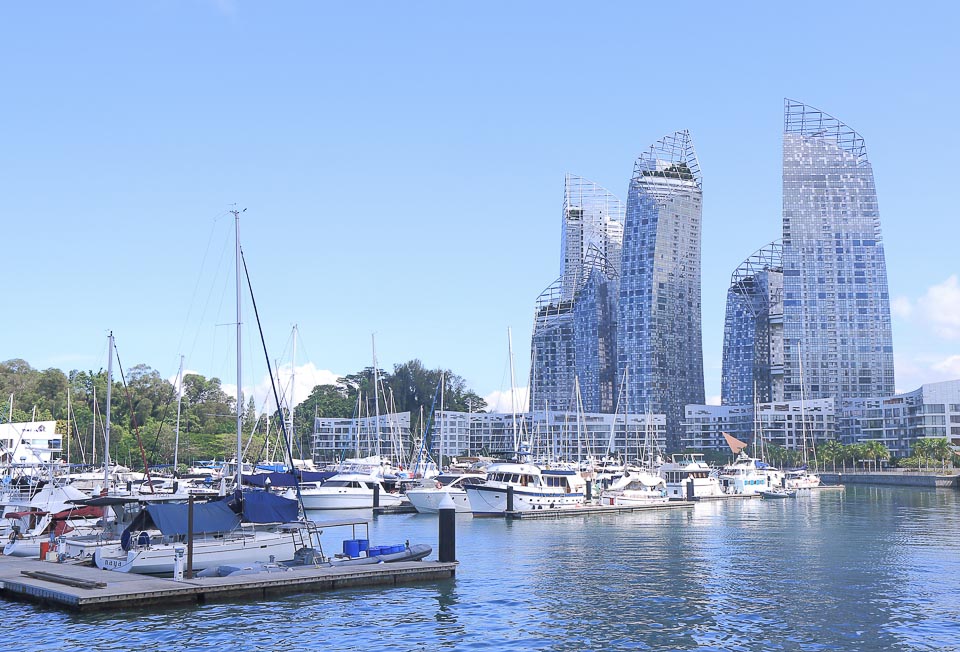
Start point: Labrador Park MRT
Finish point: Labrador Park MRT
Distance: 3km
Running Route: Labrador Park MRT -> Pavilion’s roof deck -> Berlayer Creek Boardwalk -> Labrador Nature Reserve (Labrador Park) -> Dragon’s Teeth Gate -> Red Beacon -> Old Fort Entrance -> 6-inch Cannon -> Labrador Villa Road -> Labrador Park MRT Station.
Alternatively, you can also opt for 3km Coastal Walk trail where you will be mesmerised by the scenic views of Keppel Harbour and Sentosa island.
Start point: Labrador Park MRT
Finish point: Harbourfront MRT
Distance: 3km
Running Route: Labrador Park MRT -> Pavilion’s roof deck -> Berlayer Creek Boardwalk -> Bukit Chermin Boardwalk -> Keppel Harbour -> Keppel Bay Drive -> Telok Blangah Road -> Harbourfront MRT.
3. Sentosa
From jungle trail, hill, beach, heritage landmarks, to Merlion statue, Sentosa has it all. If you love being surrounded by the crowd of happy people while running, Sentosa is the right place for you. From Harbourfront MRT, runners can run along Sentosa Boardwalk (0.6km) to reach Sentosa island. The length of the running route depends largely on your curiosity. In general, you can expect to run between 5 to 15 km from Harbourfront MRT to Sentosa and back. The major destinations you should not miss when running in Sentosa are Merlion statue and Merlion Walk, Mount Imbiah, Fort Siloso, Siloso Beach and Palawan Beach. Long distance runners have the opportunity to add their mileage by including Tanjong Beach, the abandoned Fort Serapong and Sentosa Cove in their running route.

Start point: Harbourfront MRT
Finish point: Harbourfront MRT
Distance: 14km
Running Route: Harbourfront MRT -> Tanjong Beach -> Palawan Beach -> Siloso Beach -> Fort Siloso -> Imbiah Trail -> Merlion -> Harbourfront MRT.
4. Marina Bay Loop
Marina Bay Loop is the perfect running route for runners who love the Marina Bay waterfront. Runners can enjoy the skyline of Marina Bay. This 3km route starts from and ends at Marina Bay Sands, which can be easily accessed via Bayfront MRT. There’s one caveat you need to be aware of: the GPS signal might be slightly unreliable due to the high density of skyscrapers.
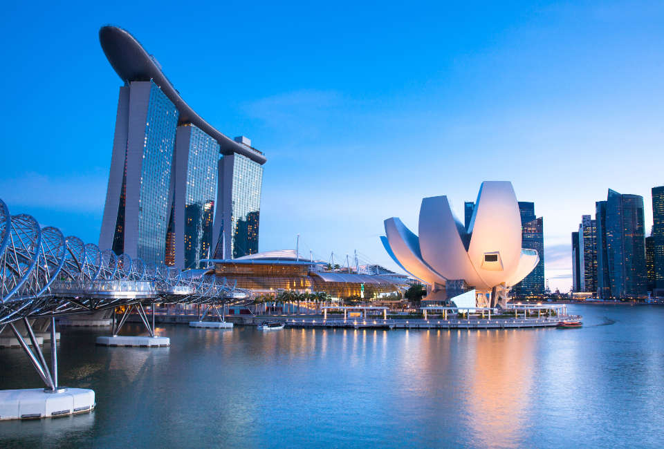
Start point: Marina Bay Sands (Bayfront MRT)
Finish point: Marina Bay Sands (Bayfront MRT)
Distance: 3km
Running Route: Marina Bay Sands -> Red Dot Design Museum -> The Promontory -> One Fullerton -> Merlion -> Jubilee Bridge / Esplanade Bridge -> Esplanade -> Floating Platform -> Helix Bridge -> ArtScience Museum -> Marina Bay Sands.
5. Garden by the Bay – National Stadium Loop
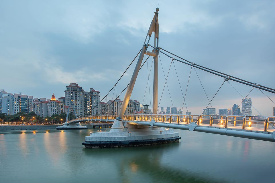
Another interesting waterfront running route at Marina Bay area is this 9km loop from Garden by the Bay to National Stadium and back. This route is less crowded than Marina Bay Loop in the above point, and it has spectacular views along the way.
Start point: ArtScience Museum (Bayfront MRT)
Finish point: ArtScience Museum (Bayfront MRT)
Distance: 9km
Running Route: ArtScience Museum -> Gardens by the Bay -> Flower Dome & Cloud Forest -> Marina Barrage -> Bay East -> Tanjong Rhu Promenade -> Tanjong Rhu Suspension Bridge -> National Stadium -> Merdeka Bridge -> Marina Promenade Park -> F1 Pit Building -> Singapore Flyer -> Helix Bridge -> ArtScience Museum.
Have you run in the southern part of Singapore before? Where is your favourite running route in the south?
Looking for more places to run in Singapore? Read more about the best running routes in the East, West, North and Central.


