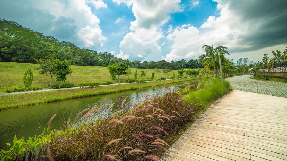
The northern part of Singapore offers a balanced amount of captivating waterbody, civilisation, biodiversity, outdoor experiences, flat and undulating terrains. As the neighbourhoods are well-connected by park connectors and jogging/cycling trails, runners can easily run from Woodlands or Punggol all the way down to Bishan.
Here are the 5 best Singapore’s running routes in the north that you will love if you appreciate the serenity of rivers, reservoirs, canals, ponds and straits.
1. Punggol Waterway Park – Lorong Halus Wetland – Coney Island
This picturesque route is better tackled when the sky is bright due to its sheer gorgeousness. Punggol Waterway Park offers runners scenic views of the waterway, modern housing estates and unique bridges over the waterway. Meanwhile, Lorong Halus Wetland and Coney Island provide rustic yet charming views that are seldom found in urban Singapore.
Do note that Coney Island is only open from 7 a.m. to 7 p.m., the gates will be closed at 7 p.m.
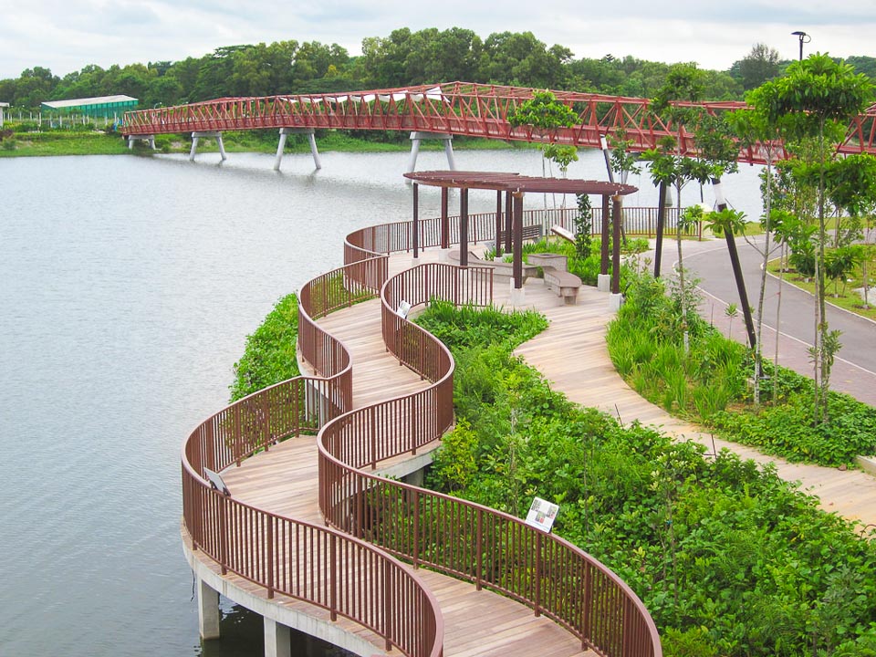
Start point: Waterway Point
Finish point: Waterway Point
Distance: 12km
Running Route: Waterway Point -> Punggol Marina Country Club -> The Punggol Settlement -> Coney Island -> Lorong Halus Wetland -> Waterway Point.
2. North Eastern Riverine Loop
The extensive North Eastern Riverine Loop connects four parks (Punggol Park, Punggol Point Park, Punggol Waterway Park, Sengkang Riverside Park) via scenic park connectors and trails through Buangkok, Sengkang and Punggol. It is possibly one of the most beautiful routes in Singapore due to the enchanting waterways, canals, rivers, coastline and wetlands. This loop is best visited during the day, though it is accessible 24 hours a day.
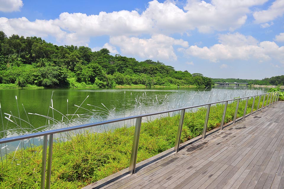
Start point: Buangkok MRT
Finish point: Buangkok MRT
Distance: 18km
Running Route: Buangkok MRT -> Punggol Park -> Sungei Serangoon Park Connector -> Punggol Promenade Riverside Walk -> Punggol Promenade Nature Walk -> The Punggol Settlement -> Punggol Park Connector -> Buangkok Park Connector -> Buangkok MRT.
3. Yishun Pond Park – Yishun Park – Lower Seletar Reservoir Park
Surrounded by a wide variety of plants, trees, shrubs as well as bird species, Yishun Pond Park is a great place for runners to get close to nature and to enjoy a bird’s eye view of the area when they climb up the spiral tower. Across the street from Yishun Pond is the Yishun Park, where families and fitness enthusiasts spend their evening and weekend amidst an array of tropical fruit trees and natural vegetation. A little south to Yishun Park is Lower Seletar Reservoir where you can catch beautiful sunrise and sunset over the reservoir.
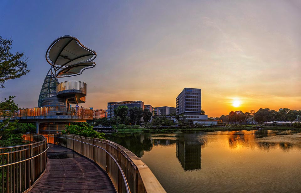
Start point: Yishun Pond Park
Finish point: Lower Seletar Reservoir Park
Distance: 3.5km
Running Route: Yishun Pond Park -> Yishun Park -> Yishun Ave 4 -> Yishun Ave 1 -> Lower Seletar Reservoir Park.
4. Admiralty Park – Woodlands Waterfront Park
The Admiralty Park – Woodlands Waterfront Park running route will bring you through a mix of secondary forest, mangrove, riverine and open grassland habitats in the 27 hectares Admiralty Park, followed by the exceptional unobstructed view of Straits of Johor, skylines of Johor Bahru waterfront buildings, and Woodlands Jetty where finishing is allowed at certain stretches. This running route provides runners with both adventurous and challenging trails.
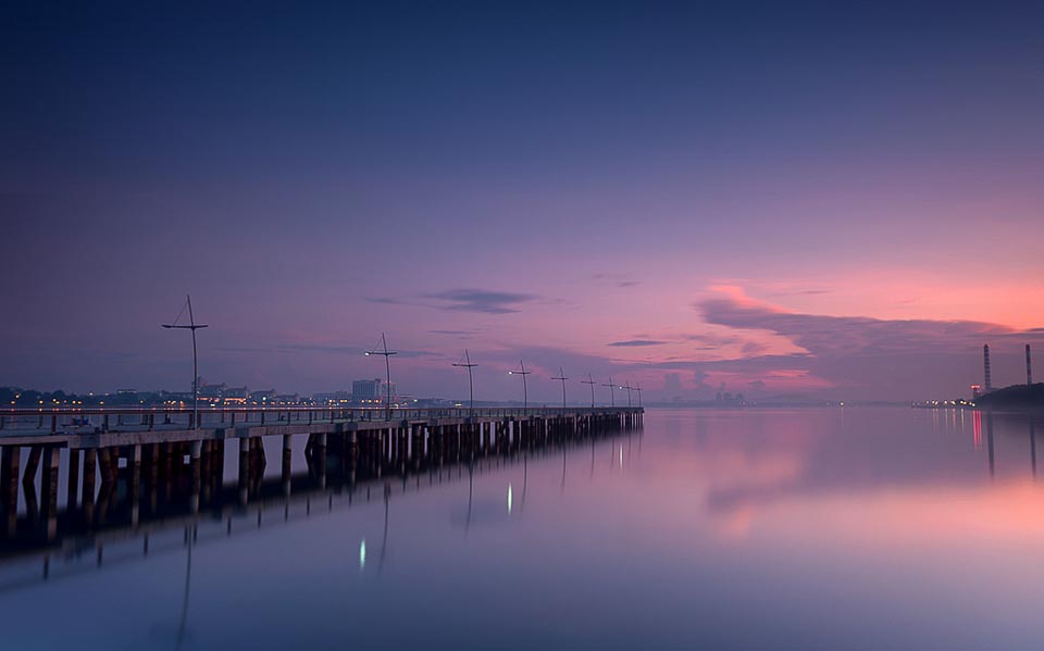
Start point: Woodlands MRT
Finish point: Woodlands Waterfront Park
Distance: 4km
Running Route: Woodlands MRT -> Riverside Road -> Admiralty Park -> Woodlands Jetty -> Woodlands Waterfront Park.
5. Bishan-Ang Mo Kio Park
As one of the largest urban parks in Singapore, the 62 hectares Bishan-Ang Mo Kio Park provides a green respite to the residents in Bishan and Ang Mo Kio. The old 3km concrete canal has been reconstructed into a beautiful river with a wide array of wildflowers, fish, turtles and other interesting flora and fauna. Runners can look forward to plenty of exciting facilities such as dog run area, adventure playground, water playground, lotus garden, forest walk, landscape pond, cleansing biotope, viewing point and riverside gallery.
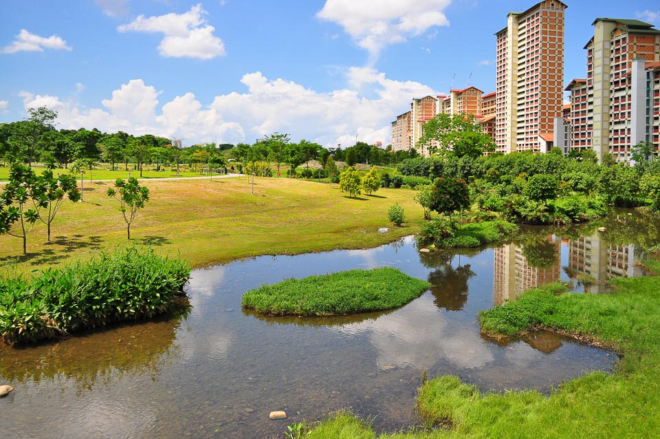
Start point: Bishan-Ang Mo Kio Park
Finish point: Bishan-Ang Mo Kio Park
Distance: 6.5km
Running Route: Start at East portion of Bishan-Ang Mo Kio Park -> Run clockwise in the park -> Cross Marymount Road to the West portion of Bishan-Ang Mo Kio Park -> Run anti-clockwise in the park.
Have you run in the northern part of Singapore before? Where is your favourite running route in the north?
Looking for more places to run in Singapore? Read more about the best running routes in the East, West, South and Central.


