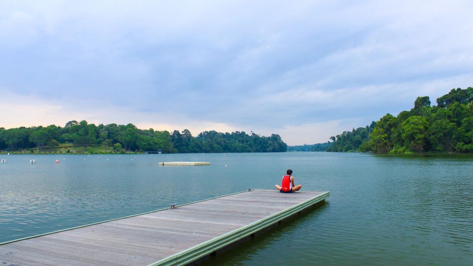
Would you believe it if we tell you that you can get away from the busy city of Singapore and enjoy a relaxing day running through the central region of Singapore? In this region, you can enjoy a picturesque view from a suspension bridge, running in the only UNESCO World Heritage Site in Singapore, reminiscing and learning about the history of Singapore in the past, running along the iconic Singapore River and discovering the charms of Singapore’s neighbourhood.
Here are the 5 best Singapore’s running routes in the central that are popular, yet not crowded at all.
1. MacRitchie Reservoir & TreeTop Walk
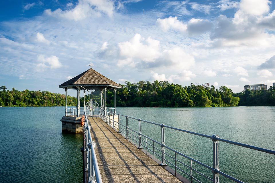
With plenty of hiking trails, boardwalks, kayaks and canoes for rent, as well as beautiful sceneries, the MacRitchie Reservoir Park is a popular spot for nature lovers and exercise enthusiasts. If you’re a beginner runner, you can do short runs at Chemperai Trail, Jering Trail, Petai Trail or Prunus Trail. If you want to challenge yourself to conquer the MacRitchie Loop and be rewarded with a breath-taking bird’s eye view from the suspension bridge at TreeTop Walk, this is our recommended route. Kindly note that TreeTop Walk is closed on Mondays, and its last admission is at 4:45 p.m.
Start point: Mushroom Café
Finish point: Mushroom Café
Distance: 12km
Running Route: Mushroom Café -> Singapore Canoe Federation -> MacRitchie Nature Trail -> Ranger Station -> TreeTop Walk -> Simei Track -> Golf Link -> Lornie Trail -> Mushroom Café.
2. Singapore Botanic Gardens
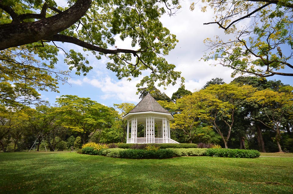
As the only UNESCO World Heritage Site in Singapore, the 150-year-old Singapore Botanic Gardens has a rich history and rich collection of heritage and iconic plants. SBG is also home to the National Orchid Garden, where you can find over 1000 orchid species and 2000 orchid hybrids on display. Due to its extensive number of trails, it’s possible that you spend more than 2 hours to explore the entire garden.
Start point: Botanic Gardens MRT
Finish point: Tanglin Gate
Distance: 4km
Running Route: Botanic Gardens MRT -> Eco Lake -> Healing Garden -> Evolution Garden -> Symphony Lake -> National Orchid Garden -> Ginger Garden -> Upper Ring Road -> Swan Lake -> Tanglin Gate.
3. Fort Canning Park
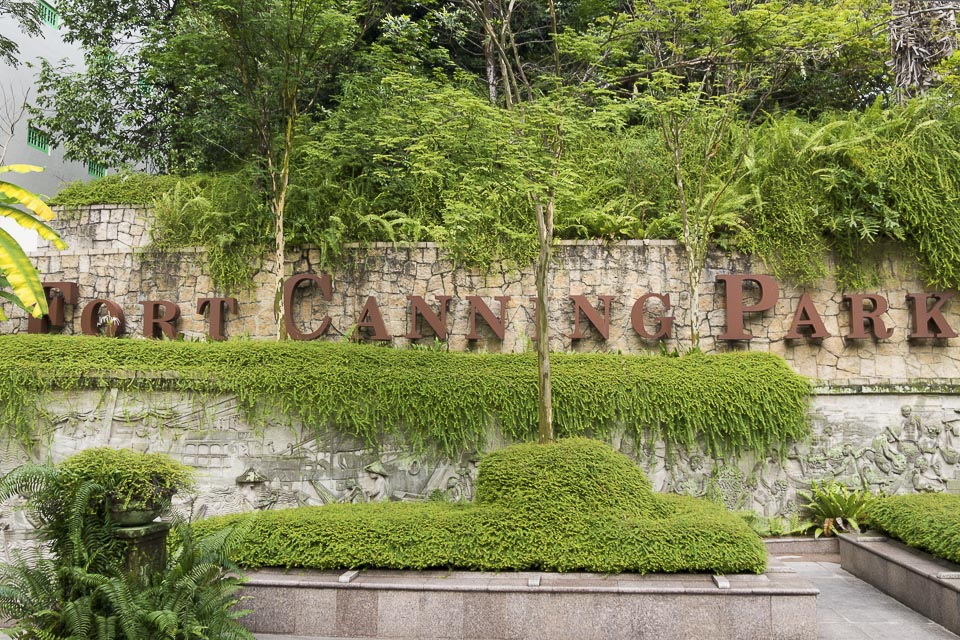
Fort Canning Park is a historical place that has seen many of Singapore’s major milestone, from the era of the five kings and the Golden Age of Singapore in the 14th century, the colonial era between 16th and 19th centuries, to modern Singapore we know today. Throughout this 2km loop running route, you can admire the colonial structures, explore the site of archaeological dig and ancient tomb among other war remnants. PS: There are plenty of stairs to train your leg muscles in addition to running.
Start point: Fort Canning MRT
Finish point: Fort Canning MRT
Distance: 2km
Running Route: Fort Canning MRT -> Fort Gate -> The Battlebox -> Fort Canning Centre -> Fort Canning Flagstaff -> Fort Canning MRT.
4. Alexandra Park Connector – Singapore River
The urban Alexandra Park Connector runs parallel to Alexandra Canal from Tanglin Road to Zion Road. At the end of the Park Connector, runners can continue running along the beautiful Singapore River towards Marina Bay area, passing through Grand Copthorne Waterfront Hotel, Robertson Quay, nightlife destination Clarke Quay, scenic Boat Quay, and one of the main tourist attractions in Singapore, the Merlion.
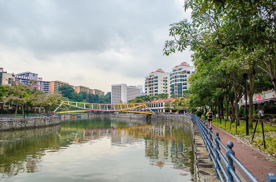
Start point: Redhill MRT
Finish point: Bayfront MRT
Distance: 7km
Running Route: Redhill MRT -> Alexandra Park Connector -> Robertson Quay -> Clarke Quay -> Boat Quay -> Asian Civilisation Museum -> Merlion Park -> The Promontory -> Bayfront MRT.
5. Central Urban Loop
The Central Urban Loop is full of lush greenery, beautiful foliage and vibrant flowers which provide residents with a respite from urban life. This 26.5km loop links up parks, park connectors and natural sites in the centre of Singapore and showcases the unique charm of the heartlands as well as off-the-beaten paths of Singapore. In addition, plenty of hawker delights will tempt you to take a running break to refuel.
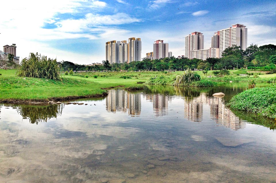
Start point: Bishan MRT
Finish point: Bishan MRT
Distance: 26.5km
Running Route: Bishan MRT -> Bishan-Ang Mo Kio Park -> Ang Mo Kio Town Garden West -> Ang Mo Kio Ave 5 Park Connector -> Buangkok Park Connector -> Serangoon Park Connector -> Hougang Ave 3 Park Connector -> Paya Lebar Park Connector -> Balam Park Connector -> Pelton Canal Park Connector -> Kallang Park Connector -> Bishan MRT Depot -> Bishan MRT.
Need more inspiration for running routes? Read our recommended running routes in the south, east, north and west.
Have you run in the central part of Singapore before? Where is your favourite running route in the central?
Looking for more places to run in Singapore? Read more about the best running routes in the East, West, South and North.


